Yarm's town houses and family estates
The Yarm ward is the largest on this site, with 4,890 households at the 2021 Census. It is mostly detached houses (56%), with 22% semi-detached, 13% terraced and 8% flats. Some 77% of homes were owner-occupied, and 48% of households had two or more cars or vans.
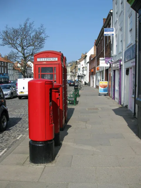
The old town runs along the broad High Street, with its town hall of 1710 in the middle, West Street and narrow wynds behind. Landmarks include the Ketton Ox, the George and Dragon, St Mary Magdalene Church and Yarm School. Main routes out are Yarm Road, The Spital and Worsall Road. South and west of the centre, newer estates such as Levendale, which grew up around its primary school, have open lawns and single drives.
Yarm therefore has two very different types of driveway job:
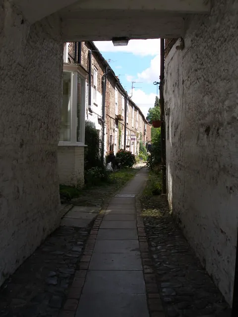
- Old-town properties, many listed, where parking may only be possible in a rear yard reached through a wynd or back lane, and access for materials is tight.
- Estate houses in Levendale and nearby, where the usual aim is room for a second car, or replacing worn tarmac or cracked concrete.
On the estates, two cars side by side need roughly 5.5 to 6 metres of width, and a wider drive needs a wider dropped kerb. Lamp columns, cabinets and verge trees can limit where the crossing goes.
The river, the ground and the flood walls
The British Geological Survey maps central Yarm on alluvium, river-laid clay, silt, sand and gravel, over Sherwood Sandstone. Alluvium varies a lot over short distances and can be soft when wet, so the sub-base needs digging to firm ground and compacting in layers.
Flooding is a real consideration. Yarm suffered a severe flood in 1771, when the Tees stood deep in the High Street. Today the Environment Agency's flood map shows extensive Flood Zone 2 and 3 land within 300 metres of the centre, and the town is protected by flood walls and gates. A drive cannot change the river, but it does change how much rain runs off your plot. Good practice here:
- falls that take water away from the house;
- a finished level that stays well below the damp-proof course;
- permeable surfaces such as resin bound on a porous base, permeable block paving or gravel in a grid.
Conservation area, listed buildings and kerbs
Yarm Conservation Area was designated in 1969 and covers about 31 hectares around the High Street and riverside, with more than a hundred listed buildings. Stockton-on-Tees Borough Council uses Article 4 Directions in parts of its conservation areas. Where one applies, planning permission is needed to lay a hard surface at the front, alter a gate or front boundary, or demolish a front wall.
Points that catch people out in the old town:
- The cobbled forecourts along the High Street are public highway. Even outside your door, they are not a private drive.
- Listed building consent is separate from planning permission, and working on a listed building without it is a criminal offence.
- Historic paving in a yard may be part of a listing, so check before lifting old flags or setts.
On the estates, the normal front-garden rule applies: more than five square metres of hard surface draining onto the road needs planning permission, while a permeable surface does not.
Dropped kerbs go through Stockton-on-Tees Borough Council, even though Yarm is in North Yorkshire. Apply online for the council to assess, quote and build, or use a contractor holding its Opening Up licence. See our dropped kerbs page and the conservation areas guide.
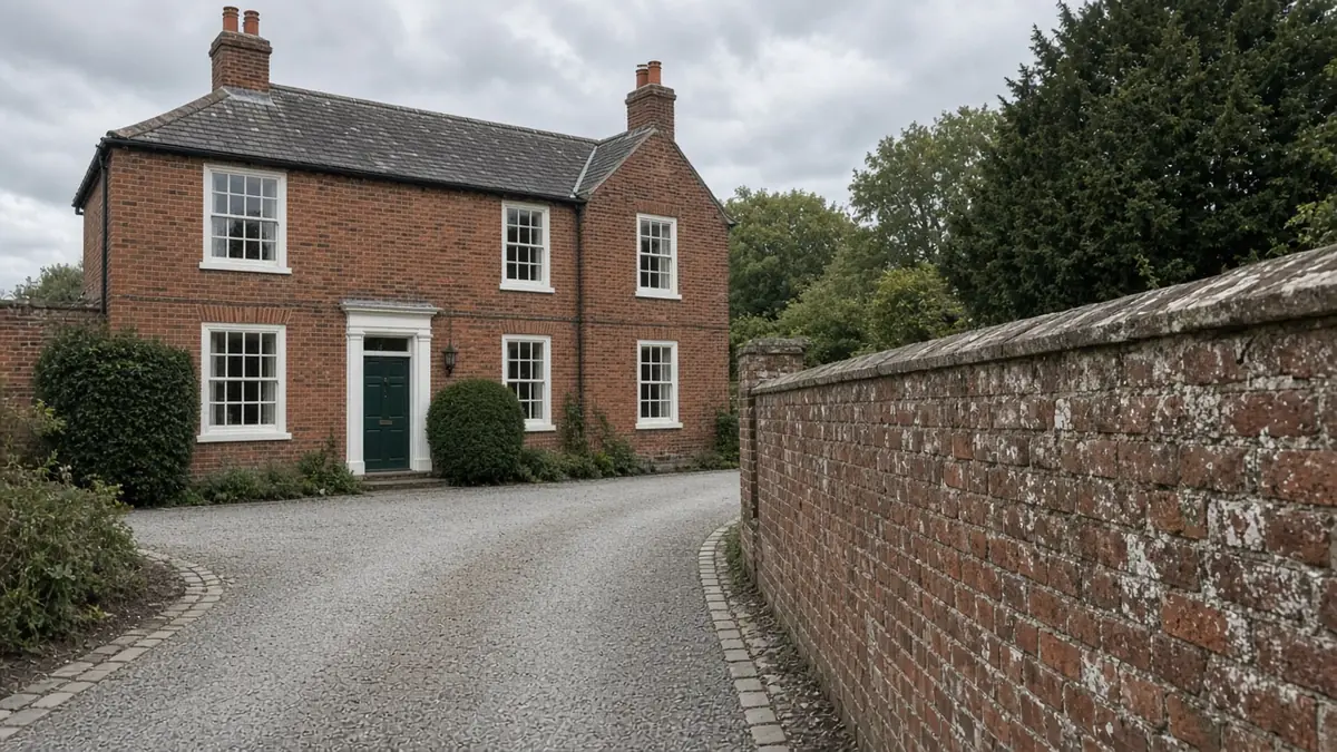
Yarm driveways: estate and old town
Yarm's drives fall into two very different groups.
On a Levendale-type estate, the usual jobs are widening a drive for a second car, about 18m², or replacing a full drive of around 45m². These are straightforward builds where the choice of surface sets most of the price.
In the old town, a rear-yard space may be small, but tight access, hand-barrowing materials, matching setts or clay pavers, and listed-building care all push the price per square metre up.
On both, the extras that change the figure most are digging out to firm ground on alluvium, drainage in a flood-prone town, and crossing works. Granite setts, clay pavers or gravel with a sett edge suit the old town. Block paving and resin bound are common choices on the estates. See also permeable driveways.
Nearby areas
- Hartburn: to the north, a leafy Stockton suburb with period houses and its own conservation area.
- Thornaby: to the north-east, with riverside terraces, post-war estates and the Thornaby Green conservation area.
- Fairfield: further north, mostly owner-occupied semis with drives to replace.
All areas are on our areas page.
Questions people ask in Yarm
Who handles planning and dropped kerbs in Yarm?
Stockton-on-Tees Borough Council, even though Yarm is in North Yorkshire for ceremonial purposes. Apply to the council for a dropped kerb, either for it to build the crossing or for a contractor with its Opening Up licence to do the work.
Can I park on the cobbles outside my High Street house?
No. The cobbled forecourts along Yarm High Street are public highway, not private drives. Parking there is subject to the normal highway rules. A rear yard reached through a wynd may be a realistic alternative.
Does flood risk affect a new drive in Yarm?
It affects the design. Much of central Yarm is in Flood Zones 2 and 3. Keep falls away from the house, stay well below the damp-proof course, and choose a permeable surface so the drive adds as little run-off as possible.
Do I need consent to change the front of a listed Yarm house?
Usually, yes. Listed building consent is needed for works affecting a listed building's character, and the conservation area's Article 4 rules can also apply. Speak to Stockton-on-Tees Borough Council before planning any change.
Sources: ONS Census 2021, Yarm ward (TS044, TS045, TS054 via Nomis); Wikipedia: Yarm (charter 1207, town hall 1710, 1771 flood); Stockton-on-Tees Borough Council: Article 4 Directions; BGS Geology Viewer, 1:50,000; Environment Agency flood map for planning; OpenStreetMap (road, school and landmark names); Stockton-on-Tees Borough Council: apply for a driveway crossing.