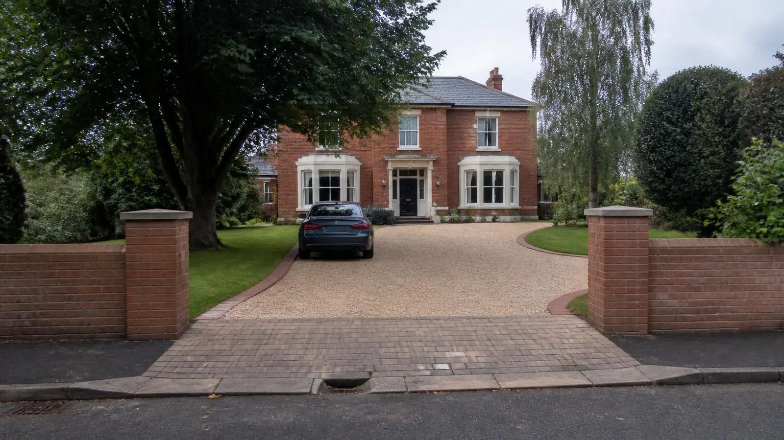
Hartburn's houses and frontages
Hartburn has the highest owner-occupation of any area on this site. At the 2021 Census the Hartburn ward had 2,745 households, 90% of them owner-occupied. Housing was 68% semi-detached and 27% detached, with very few terraces (4%) or flats (1%). Some 47% of households had two or more cars or vans and just 11% had none.
The area sits in TS18. Darlington Road runs east to west through it, with Hartburn Avenue and Oxbridge Avenue linking towards the town centre and Green's Lane to the north. Its parks are a big part of its character: Ropner Park and Grangefield Park lie on its eastern side. Landmarks include All Saints Church, Hartburn Methodist Church, Hartburn Primary School and The Grangefield Academy.
Hartburn homes come in roughly three types, each with its own driveway questions:
- Edwardian and Victorian villas in and near the conservation area, with deep gardens, brick or stone walls, gate piers and mature trees.
- Inter-war semis with bay windows, front walls or hedges, and often a narrow side drive.
- Later infill and detached houses on side roads, with wider frontages and garages.
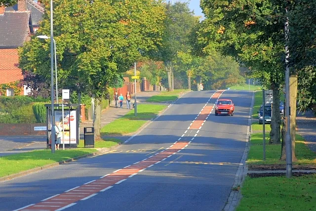
Ground, trees and Hartburn's becks
The British Geological Survey maps Hartburn on glacial till, a stony clay, over Sherwood Sandstone. Clay drains slowly and moves with the seasons, so a drive needs a well-compacted sub-base on a membrane and a planned route for water.
Mature trees matter as much as the soil. Excavating for a deep sub-base close to roots can damage a tree, and in a conservation area trees are protected, so you must give the council six weeks' notice before most tree work. Near large trees, a no-dig cellular base or a permeable gravel finish is sometimes the better choice.
Hartburn Beck, Greens Beck and Lustrum Beck run through the area's green corridors. The Environment Agency's flood map shows Flood Zone 2 and 3 land within about 300 metres of the centre along these becks. Check your postcode if your garden is near one, and keep a new drive falling away from the house.
Conservation area and Article 4 rules
Stockton-on-Tees Borough Council designated Hartburn Conservation Area in 1971. The council's Article 4 Directions cover parts of the borough's conservation areas and remove some permitted development rights. Where one applies, planning permission can be needed to:
- lay a new hard surface at the front of the house;
- put up or alter a front gate or boundary;
- demolish a front boundary wall.
Not every property is covered. Check the council's Article 4 page and maps for your address before you design a drive. Plain grey concrete blocks or black tarmac can look out of place beside period brick, and may be harder to get approved in a conservation area. Our conservation areas guide lists the questions to ask the planning team.
Outside the conservation area, the normal front-garden rule applies: more than five square metres of hard surface draining onto the road needs permission, while a permeable surface does not.
Dropped kerbs. The council either builds a crossing after assessing the site and quoting, or you use a private contractor with its Opening Up licence. Darlington Road is a busy route, which can mean extra checks on visibility. See our dropped kerbs page.
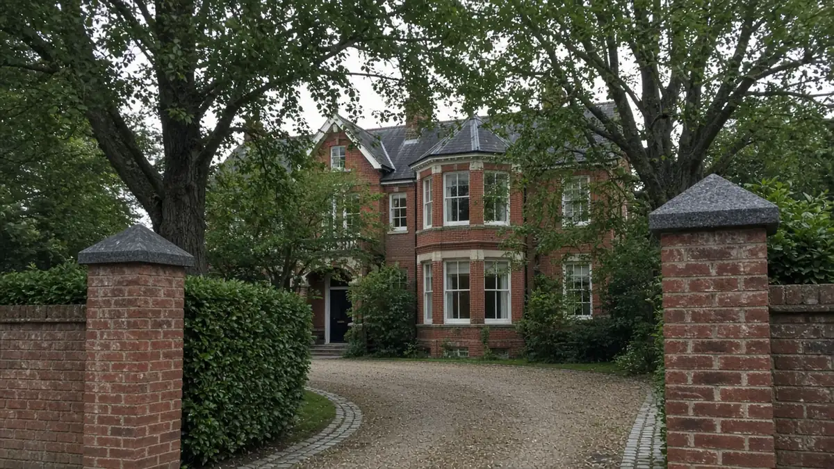
What shapes a Hartburn drive
Hartburn drives are often bigger and more detailed than average, and two kinds of job come up most:
- A widened drive on an inter-war semi, about 30m², where the new section has to line up with the original gateway and piers.
- A villa's gravel drive with sett edging and a turning area, about 70m², where the edging and the turning circle take as much work as the gravel itself.
Extras that often apply here include rebuilding or altering brick walls and piers, reclaimed or matching materials, hand-digging near tree roots, and drainage on clay. Gravel with granite sett or brick edging, clay pavers and tumbled block paving tend to suit Hartburn's period houses. See gravel driveways and block paving.
Nearby areas
- Fairfield: to the north-west, mostly later semis with concrete drives to replace and no conservation area.
- Oxbridge: to the east towards town, with more terraces and shallower frontages.
- Yarm: further south, a market town with its own conservation area and river flood zones.
See all areas on our areas page.
Questions people ask in Hartburn
Is my Hartburn house covered by an Article 4 Direction?
Parts of Stockton's conservation areas, including Hartburn's, are covered by Article 4 Directions, but not necessarily every property. Check Stockton-on-Tees Borough Council's Article 4 page and maps for your address before you change a front wall, gate or surface.
Can I lay a drive near a big tree in Hartburn?
Usually, with care. Deep excavation can harm roots, and in the conservation area you must give six weeks' notice before most tree work. A no-dig cellular base with gravel is a common way to create parking near trees without cutting roots.
Which surfaces suit Hartburn's period houses?
Gravel with granite sett or brick edging, clay pavers and tumbled block paving tend to suit Edwardian and Victorian brick. Plain grey blocks and black tarmac can look out of place and may be harder to get approved in the conservation area.
Are Hartburn homes at risk from the becks?
Most homes are outside the river flood zones, but the Environment Agency maps Flood Zone 2 and 3 land along Hartburn Beck, Greens Beck and Lustrum Beck. Check your postcode if you are close to one.
Sources: ONS Census 2021, Hartburn ward (TS044, TS045, TS054 via Nomis); Stockton-on-Tees Borough Council: Article 4 Directions; planning.data.gov.uk: Hartburn Conservation Area; BGS Geology Viewer, 1:50,000; Environment Agency flood map for planning; OpenStreetMap (road, park and watercourse names); Stockton-on-Tees Borough Council: apply for a driveway crossing.