Thornaby's three kinds of street
Thornaby is in the TS17 postcode district and spans three census wards with quite different housing. At the 2021 Census:
| Ward | Households | Main house types | Owner-occupied | No car |
|---|---|---|---|---|
| Village | 2,988 | 56% semi, 18% terraced, 14% flats | 65% | 24% |
| Stainsby Hill | 2,648 | 52% semi, 28% terraced | 58% | 32% |
| Mandale and Victoria | 4,783 | 40% terraced, 35% semi, 18% flats | 39% | 38% |
The old village. Thornaby Green, with the small church of St Peter ad Vincula (Grade II*) on its long green, was the original settlement and is a conservation area.
The industrial town. From the 1820s potteries, ironworks and shipyards grew up by the river. The town became the borough of Thornaby-on-Tees in 1892. Victorian terraces near the river, in the Victoria and Mandale area, often have front doors opening straight onto the footway.
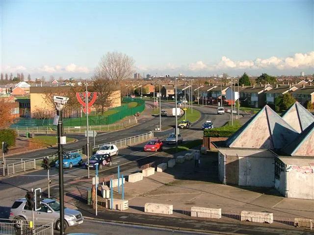
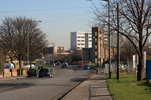
The post-war town. RAF Thornaby closed to flying in 1958, and through the 1960s and 1970s the airfield became housing, a new town centre and an industrial estate. Roads such as Trenchard Avenue and Mitchell Avenue, and Bader Primary School, recall the airfield, which is marked today by the Thornaby Aerodrome Memorial. Millbank Lane and Thornaby Road are other main routes.
Sandy ground and flood risk
The British Geological Survey maps central Thornaby on glaciolacustrine sand over Sherwood Sandstone. Sand drains better than clay, which helps permeable drives and soakaways on the estates. Closer to the river and the becks the deposits change, so test the ground before relying on a soakaway.
The Environment Agency's flood map shows central Thornaby in Flood Zone 1, but there is significant Flood Zone 2 and 3 land within a kilometre, along the River Tees and Mandale Beck and Stainsby Beck. If you live on the lower ground near these, check the map for your postcode and keep the drive falling away from the house.
Rules for Thornaby drives
Terraces with no front garden. Where the front door opens onto the footway, there is nowhere to park off the road at the front and the council will not grant a crossing. Parking across the pavement is not a legal workaround. Some terraces back onto lanes; a rear-yard space can work if the yard is deep enough, the lane is wide enough to turn in, and gates open inwards. Check who owns the lane first, as some are adopted highway and others are private.
Thornaby Green Conservation Area. Changes to walls, gates or front surfaces around the green deserve a conversation with Stockton-on-Tees Borough Council's planners before work starts. Parts of the borough's conservation areas are covered by Article 4 Directions, which bring front hard surfaces and boundaries under planning control.
Everywhere else, the national rule applies: more than five square metres of hard surface draining onto the road needs planning permission. Permeable surfaces, or drainage to a lawn or border, do not.
Dropped kerbs. Apply online to Stockton-on-Tees Borough Council, which assesses the site, quotes and builds the crossing, or use a contractor holding its Opening Up licence. There is no fixed published fee. Main routes such as Thornaby Road bring extra checks on visibility. See our dropped kerbs page.
Typical Thornaby jobs
Three jobs come up most often in Thornaby:
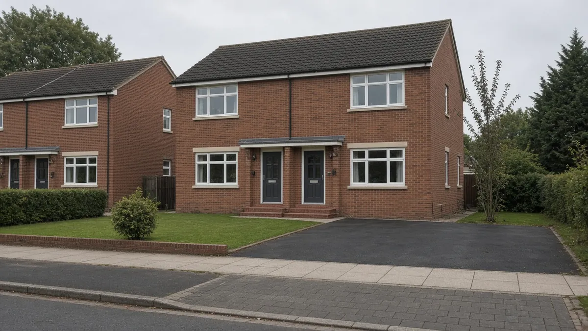
- Replacing a cracked concrete drive on an airfield-era semi, about 25m², which starts with breaking out and removing the old slab.
- Widening to fit two cars, about 15m² of new paving, plus widening the crossing through the council.
- A rear-yard space off a back lane, about 15m², where access and gates matter as much as the surface.
On sandier ground, resin bound on a porous base and permeable block paving both drain well. If the concrete is sound, an overlay may work where door levels allow; see driveway repairs.
Nearby areas
- Yarm: to the south-west, a market town with a conservation area and Tees flood walls.
- Oxbridge: across the Tees on the Stockton side, with terraces and small front yards.
- Billingham: further north, a planned industrial town with verge-lined estates.
All areas are on our areas page.
Questions people ask in Thornaby
Can I get a drive at my Thornaby terrace with no front garden?
Not at the front, because there is nowhere to park off the road and the council will not grant a crossing. If the house backs onto a lane, a rear-yard space may work, depending on yard depth, lane width, turning room and who owns the lane.
Who approves a dropped kerb in Thornaby?
Stockton-on-Tees Borough Council. Apply online and the council assesses the site and quotes, or use a contractor holding its Opening Up licence. The council publishes no fixed fee, so the price depends on the site.
Is Thornaby at risk of flooding?
Central Thornaby is in Flood Zone 1, but there is Flood Zone 2 and 3 land along the Tees, Mandale Beck and Stainsby Beck. Check your postcode on the Environment Agency's flood map if you live near them.
Do I need permission for a drive near Thornaby Green?
The green is a conservation area, and parts of Stockton's conservation areas are covered by Article 4 Directions. A new front surface or wall change can need planning permission there. Ask the council first.
Sources: ONS Census 2021, Village, Stainsby Hill and Mandale and Victoria wards (TS044, TS045, TS054 via Nomis); Wikipedia: Thornaby-on-Tees (borough 1892, RAF Thornaby closed 1958); Historic England: Church of St Peter ad Vincula, Thornaby (Grade II*); BGS Geology Viewer, 1:50,000; Environment Agency flood map for planning; OpenStreetMap (road, school and landmark names); Stockton-on-Tees Borough Council: apply for a driveway crossing.